
_in_Gilgit-Baltistan.jpg/1920px-Hunza_Valley_from_Karakoram_Highway_(N-35)_in_Gilgit-Baltistan.jpg)




GLOOBLE — JOURNEYS THROUGH PAKISTAN
PAKISTANBeyond the expected.
Mountains. Cultures. Journeys.
01 — The Centrepiece
Gilgit-Baltistan
Where giants rise from the earth. This is the only place on the planet where the Karakoram, the Himalaya and the Hindu Kush meet.
Hunza
Valleys beneath the great peaks.
36°19′N 74°39′E — 2,438mSkardu
Gateway to K2.
35°17′N 75°38′E — 2,228mGilgit
Where three ranges converge.
35°55′N 74°18′E — 1,500mAstore
Gateway to Deosai, beneath Nanga Parbat's western face.
35°20′N 74°54′E — 2,600mMinimarg
A high meadow on the road to Deosai, pine forest giving way to open sky.
34°58′N 75°02′E — 3,200m03 — Mountains
The mountains are the destination.
Three of the world's fourteen eight-thousand-metre peaks rise within a day's journey of one another — a concentration found nowhere else on Earth.
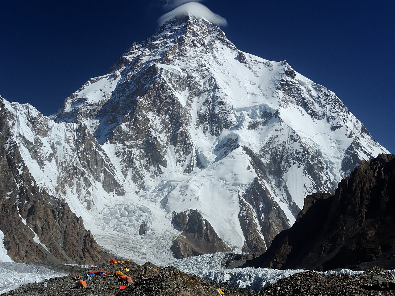
K2
The second-highest point on Earth, and the most demanding of the eight-thousanders.
35°53′N 76°31′E — 8,611mRakaposhi
Unbroken from base to summit — one of the greatest vertical rises on the planet.
36°08′N 74°29′E — 7,788mNanga Parbat
The Killer Mountain — a sheer, solitary massif above the Fairy Meadows.
35°14′N 74°35′E — 8,126mParagliding
Cross-country flights from one valley to the next, pilots talking to each other over the radio as the mountains scroll by beneath them.
Mountaineering
Expeditions among the giants.
Hussaini Bridge
One of the world's most photographed suspension bridges — wood, wire, and the Hunza River below.
Skiing
Malam Jabba, in Swat — a detour beyond Gilgit-Baltistan, but the north's closest home of snow sport.
05 — Treks & Hikes
Some views you have to earn.
Short walks and long treks, each ending at a viewpoint that photographs never quite capture.
Fairy Meadows
A short trek to a meadow with Nanga Parbat filling the entire sky.
Rakaposhi Base Camp
A steady climb through pasture and pine to the foot of the peak.
Marsur Rock
A narrow ledge above Skardu, the Indus curling far below — not for the faint of heart.
Qaqlasht Meadows
A vast summer plateau in Upper Chitral, tents pitched with the Hindu Kush filling the skyline.
Attabad Lake
Turquoise water over a drowned stretch of the Karakoram Highway, born from a 2010 landslide.
36°21′N 74°52′E — 1,950mUpper Kachura Lake
Quieter and less developed than its famous neighbour, ringed by pine minutes from the Indus.
35°25′N 75°29′E — 2,550mShandur Lake
A quiet alpine lake on the roof of the world's highest polo ground, between Gilgit and Chitral.
36°04′N 72°32′E — 3,700m07 — People
The mountains have stories.
Polo at Shandur
Drums at Chilam Joshi — gatherings older than the border itself.
Hand-loomed wool
Carved walnut, silver worked in valley workshops.
Apricot orchards
Glacial trout, bread baked in communal ovens.
Four languages, one province
Burushaski, Balti, Shina, Wakhi — villages that kept their own tongues.
08 — Heritage
A land with layers.
Mosques & shrines
Mughal-era mosques and Sufi shrines that still draw pilgrims today.
Gandhara & Taxila
Two thousand years of monasteries, stupas and carved stone.
Katas Raj
Temples around a sacred pool, older than record.
Kartarpur
A living pilgrimage corridor at the birthplace of Guru Nanak.
Mohenjo-daro
One of the world's first cities, five thousand years old.
Culture
Hand-painted trucks, roadside colour — a country that decorates everything it touches.
Faith
Mosques and Sufi shrines, still alive with pilgrims.
Coast
Where the Arabian Sea meets the desert, at Gwadar.
Chitral's Valleys
Yarkhun, Mastuj, Broghil — long valleys running toward the Afghan border, and the Kalash beyond them.
09 — Beyond the North · 05/05
And a people found nowhere else.
The Kalash of Chitral — their own language, faith and festivals, held for centuries in three narrow valleys.
Explore the Experiences →